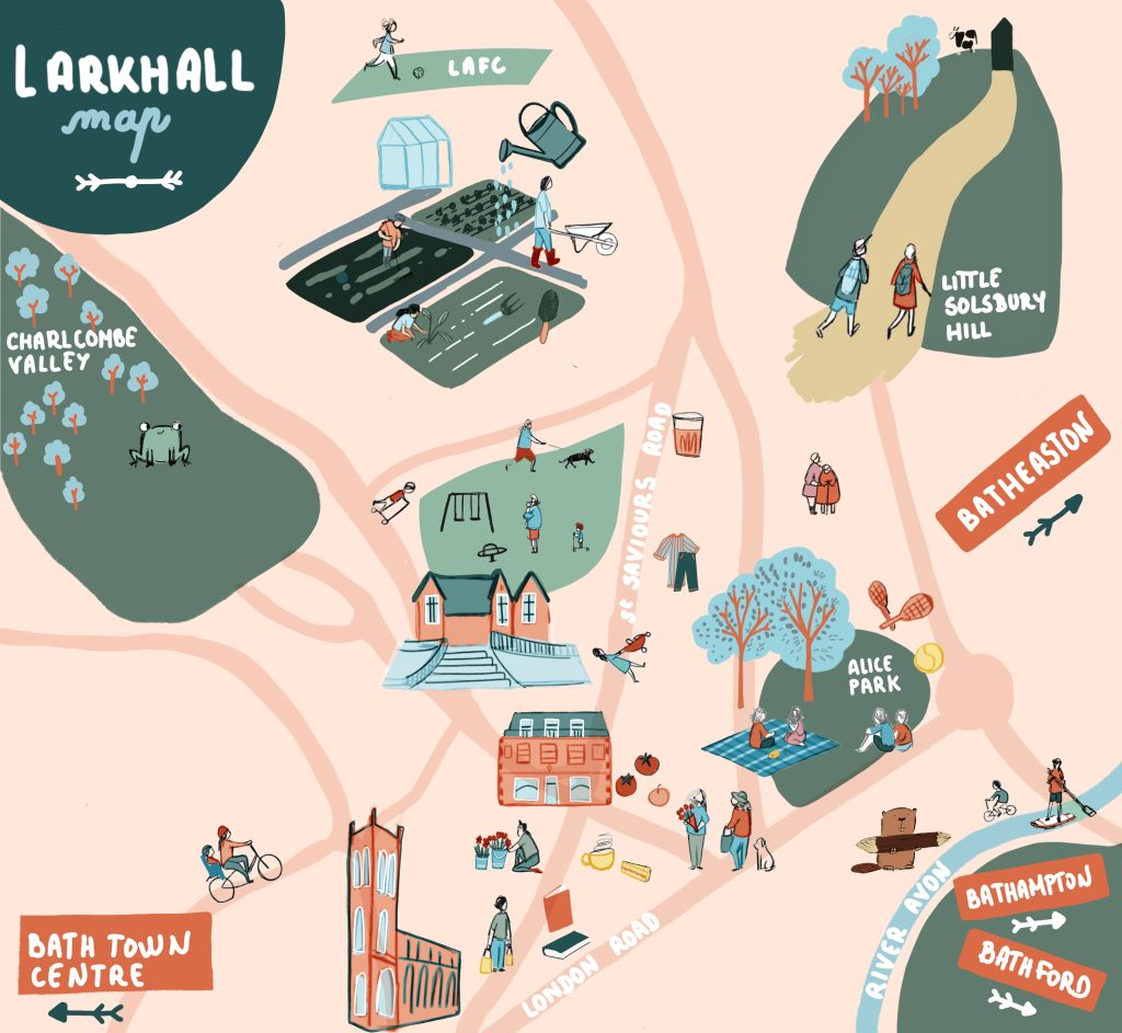
Whether for editorial features, travel guides, events, or branded projects, I also create custom illustrated maps, designed to capture the character, stories, and details of a place.
I create bespoke illustrated maps for print and digital use like this Larkhall map, combining local landmarks, green spaces, and community details into a clear and engaging visual story.